Monday, September 13, 2010

Fort Buenaventura

This weekend my brother and I took our kids camping.  We decided to go to Fort Buenaventura since it is close to home. 


Warming hands by the fire:

Reading books before bedtime:

Running around in the trees:

Yummy dinner:


You can see the tepees and the fort in the background:


Playing around in the tepees:

Eating lunch and playing UNO Moo:

The kids had a lot of fun even with the train noises during the night!  It was fun to let the kids all play together and have a good time.

Sunday, September 12, 2010

Labor Day Spiral Jetty

For Labor Day we decided to head out to the Golden Spike Historic Site.  We realized that we were close (OK 16 miles) from the Spiral Jetty.  I have wanted to see that so we headed out there.  Here is a picture and paragraph from the official website about it:


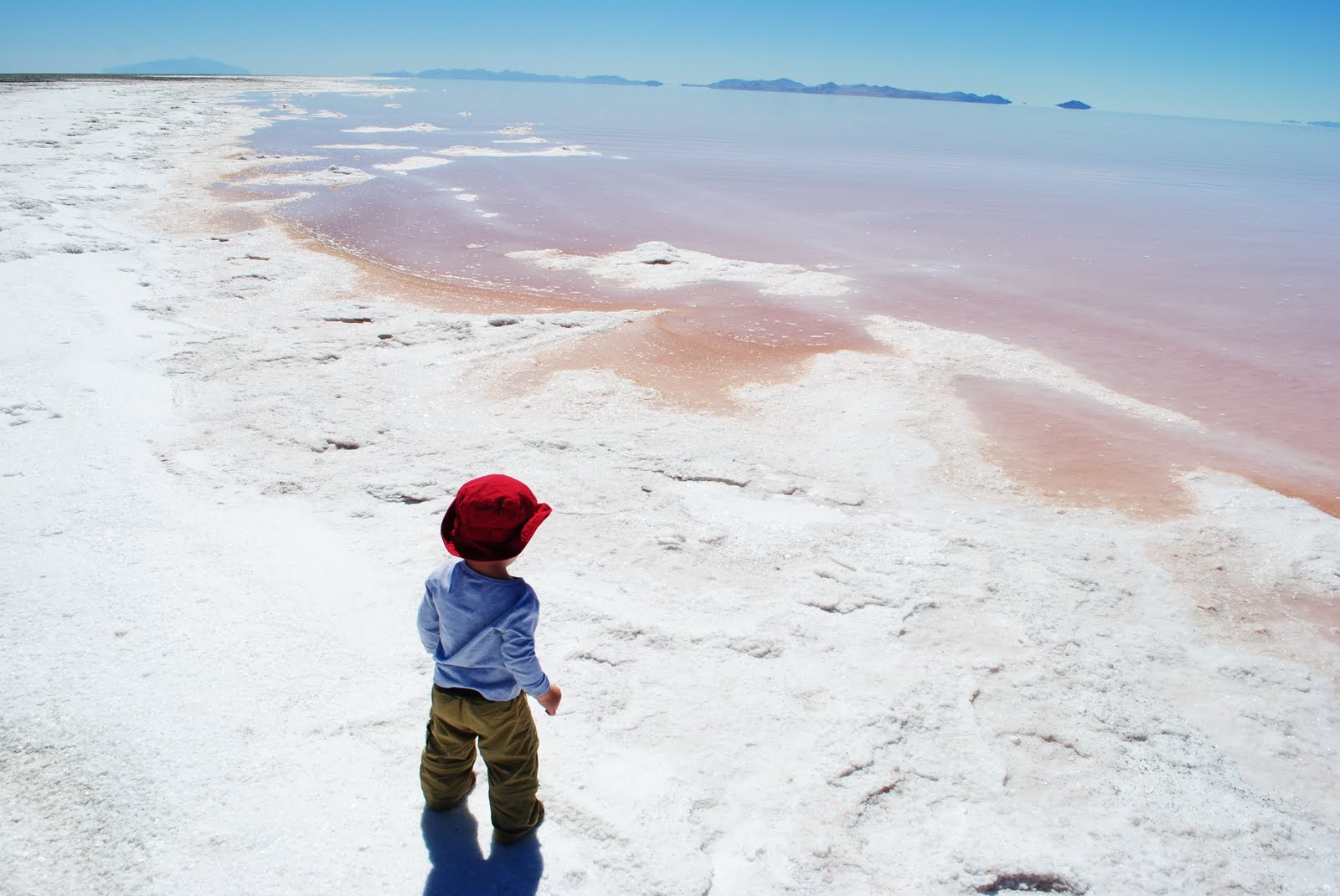
Robert Smithson's monumental earthwork Spiral Jetty (1970) is located on the Great Salt Lake in Utah. Using black basalt rocks and earth from the site, the artist created a coil 1,500 feet long and 15 feet wide that stretches out counter-clockwise into the translucent red water. Spiral Jetty was acquired by Dia Art Foundation as a gift from the Estate of the artist in 1999.   http://www.diaart.org/sites/page/59/1380

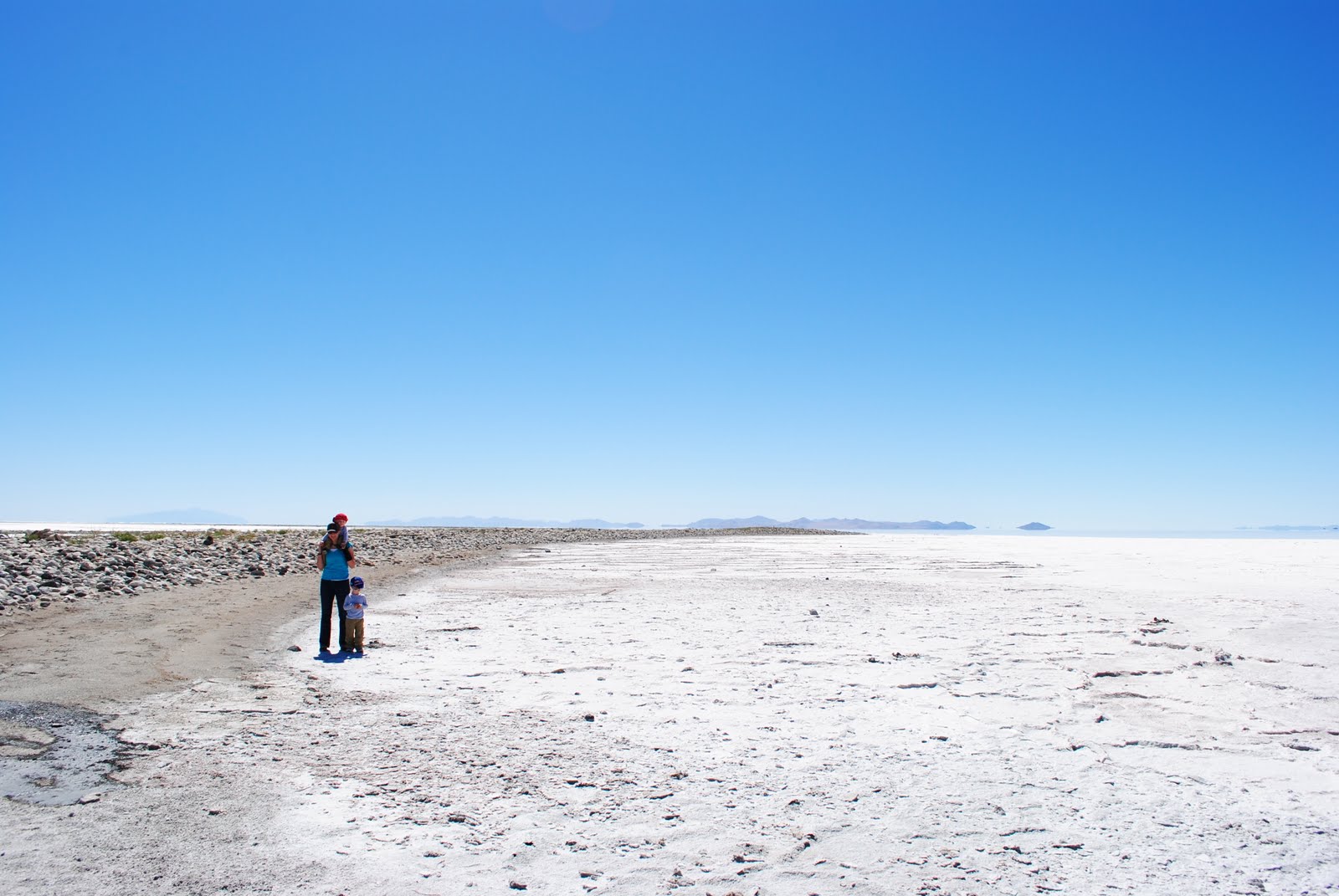
Here are a few pictures we took while exploring this area:


It was amazing how much salt there really is out there.  We were walking on an area that used to be covered under water.


It is a very inhospitable place but beautiful in its own way.

Ben Lomond Peak

 In a post below about Chilly Peak I mentioned my desire to make it all the way to Ben Lomond Peak.  Well on Saturday September 4th my brother, Mike and I went for it.  We met at my house at 5:00 AM and were at the parking lot trail (See the Chilly Peak post for trail head information) at 5:30 AM.  After an hour of hiking we made it up to the top of the switchbacks.  We had a beautiful view of the sunrise:


After a short break we continued on with our hike.  The weather was perfect.  It was a little cool but as long as we kept moving it felt perfect.  We had a couple of motorcycles pass us and one really crazy runner.  Here we are 3 1/2 hours later after covering just over 8 miles and gaining over 3,600 feet:


You can see the Great Salt Lake in the distance.  It was a little hazy which was too bad for taking pictures but even with that we could still see pretty far out being at 9,712 feet according to my map.

It was very windy up on top. 


This picture is looking North West towards Willard Peak.  It is about 50 feet higher and the highest peak in this area.  You can actually drive up fairly close to Willard Peak.

We also saw some mountain goats below us.  I tried to get some pictures of them but none of them turned out very well.


We went back down below the peak and once you got about 20 feet below the peak the wind stopped completely.  We took some more time to eat an early lunch and take some more pictures.  Below is a small campground just below the peak.  it would be cool to camp here.  Since it is just below the ridge but close to the mountainside there wasn't any wind but great views.  You can see Pineview Dam in the distance.

Here is a picture at this small camping spot looking North.

We headed back down and this is a picture looking South near the trail split that can take you to North Fork Park or where we camp from, the North Ogden Divide Trail head.


Click Here for a map:

You can see where the Blue and Yellow colored trails meet there is a designation on the map for a spring.  We spent about 10 minutes looking for it.  I never found it exactly but did find a little water:

It was pretty nasty looking.  I get the feeling that if you were to take some more time and head down the trail a little farther you would be able to find some better looking water.

7 1/2 hours and 8.2 miles later we made it back to the car.  That is a great hike I am sure I will do again soon.  I would highly recommend it to anyone.  Even though you gain quite a bit of altitude it is fairly easy due to the long length of the trail.  It is mostly uphill the whole way but gradual enough that it isn't too bad.

Monday, September 6, 2010

Labor Day 2010

For Labor Day we decided it would be fun to go out to the Golden Spike Historic Site.  They do reenactments of the driving of the spike on Saturdays and holidays.


They had a lot of volunteers who were dressed up in historical clothing and reenacted the ceremony and driving of the golden spike.  The weather was great just slightly cool with a breeze. 

After the ceremony we ate lunch and decided to head out to the spiral jetty.  It was 16 miles on a very bumpy road.  When we got near the end there were a bunch of cars parked and we thought the road had ended.  We looked out towards the Great Salt Lake and couldn't see the spiral jetty but there was a long rock road heading out towards the lake.  We thought that if the road ended it must be out there so we headed out and out and out and out...


Lesa exploring ahead for us.


Salt every were

There was a lot of junk that once upon a time was under water.


After wandering around and exploring the edge of the Great Salt Lake, throwing rocks into the water and having a good time we decided to head back to the cars.  When we got back to the car we saw that the road didn't end but it continued on.  Before there were a bunch of cars parked on the road blocking it off and making it look like the road ended.  We drove down the road a little more and what do you know?  There was the spiral jetty!  We found it and it was right by the road!  We took some pictures and then headed back home.

The Picture Says It All

Friday, August 20, 2010

Adams Canyon


Lesa and I decided to go out to dinner and go on a hike.  I have been wanting to try out Adams Canyon.  We decided to go for it and it was a lot of fun.  It took us an hour to get to the waterfall.  The trail was pretty steep at times.  We gained about 1,200 feet on the way up it was a pretty popular trail and we passed a lot of people.

This picture was also taken at the waterfall but looking back down the trial.

Here we are back on our way down the trail.


Here is a map of the trail:


To get to the trail head you have to get on the frontage road that runs parallel and just east of Hwy 89 in Layton, Utah.  You park on the frontage road just East of the Layton Surf and Swim water tower.  We got on the frontage road from Hwy 89 just North of the water tower. 

We noticed two different possible campsites.  Both where right next to the trial which isn't really ideal but they were the only two options we saw.  Both sites are quite small but could fit about 3 small tents.  I show both sites on a map below.  I will also post a couple of pictures of each site.  The first I will show is at about 700 feet up from the trail head and the next is just after the bridge that you cross over the water at about 800 feet up.


Lower Site was the bigger of the two:


The Higher Site is just after you cross this bridge: