I have been wanting to get up to Ben Lomond Peak but never have made it. To the right is a picture of it last year with a little snow on top.
I decided that it would be nice to give it a try on Saturday evening. My plan was to leave home at 5:30 PM and arrive at the North Ogden Divide trail head around 6:00 PM. I didn't want to hike too much in the dark so rather than going for Ben Lomond Peak I set a smaller goal of Chilly Peak. This would leave me about 2 1/2 miles short of Ben Lomond Peak but seemed like a better first step. It would still be a hike of over 10 miles with an altitude gain of about 2,800 feet and my goal was to be up and back to the car in four hours.
Here is a picture I didn't take but it shows where I went back at a distance. It was pulled from the website www.utahhikes.net. I really like this website as it has given me a lot of ideas as to were I should go exploring:

One of the interesting facts about this particular trail is it is part of the Great Western Trail. This is a trail that goes from Canada to Mexico. It isn't at National trail like the Appalachian Trail, Pacific Crest Trail, or Continental Divide Trail but it may be some day.
The trail head is located at the top of the North Ogden Divide. This road connects North Ogden, Utah with Liberty, Utah. there is a parking lot and various trails branch out from here. The parking lot is located at (Coordinates: 41°19'12"N 111°53'56"W). You can see the trail heading off in the top of the picture by crossing the road from the entrance and heading North.
Weather wasn't looking very good Saturday but I was hopeful it might all pass by before I would start my hike. I headed out from the house at 5:45 PM and made it to the trail head at 6:10 PM. After hiking for about 20 minutes the last of the clouds passed by and it was nice and sunny. I passed three hikers coming down within the first 30 minutes and two motorcycle riders a few minutes later. The elevation gain is steady but not too steep.
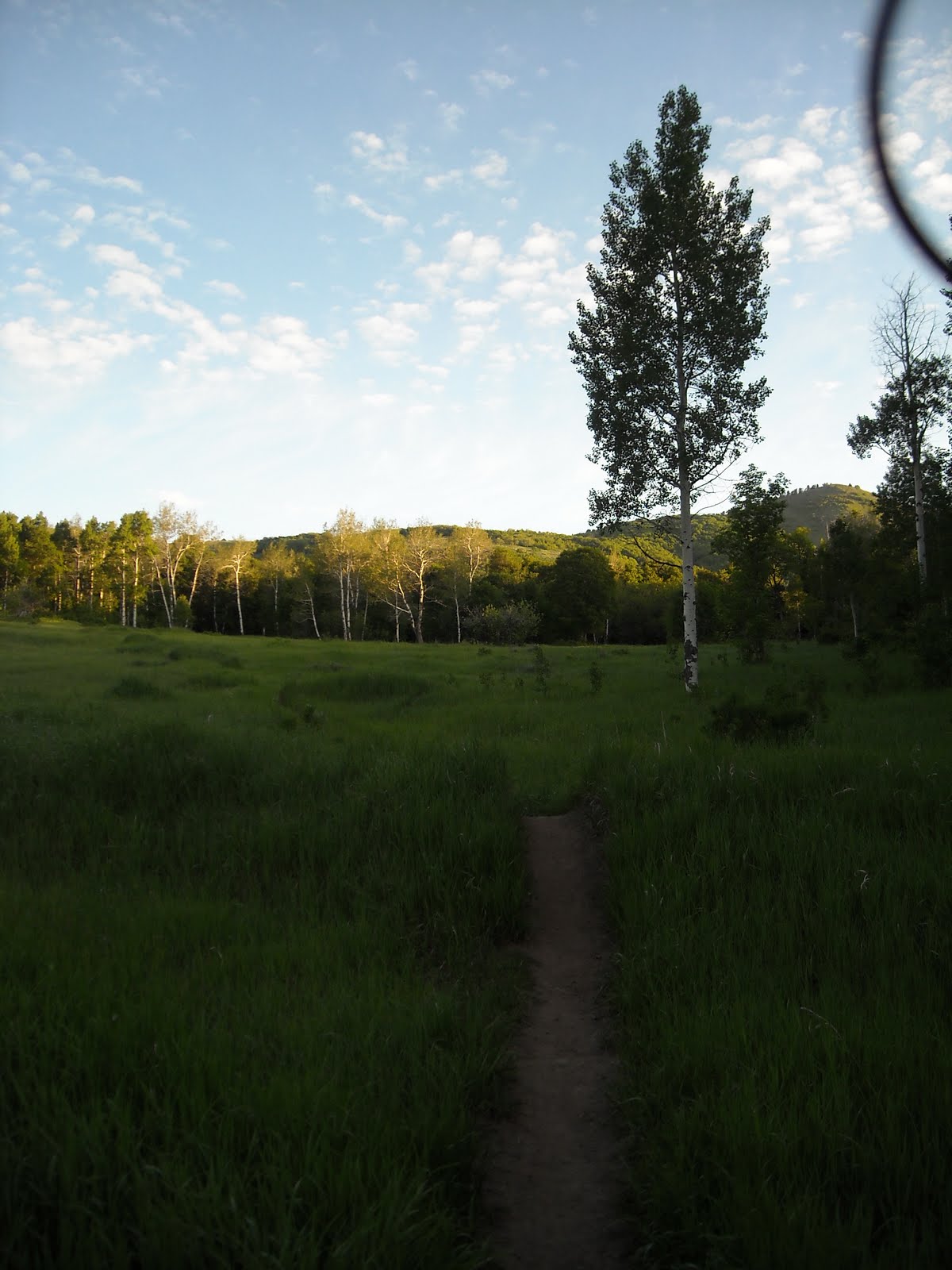
When I first entered the trees on the trail it was quite dense with a fern type plant growing all around the trees. The trail is wide sweeping switch backs for the first hour of travel.
This is another picture taken from
www.utahhikes.net. It shows the beginning of the trail very well.
Some times you are in the shade of trees but mostly exposed on the side of the mountain. This provided spectacular views but also opened you up to the heat of the sun. Luckily it wasn't too hot and travel was pretty easy.
The first pictures I took were at what looked like a good camping spot. It is the first green camping tent symbol I placed on the map. It was only about an hour hiking time so it should be an easy one to get to.
Here are a few pictures I took at this spot.
This picture is looking West towards North Ogden.
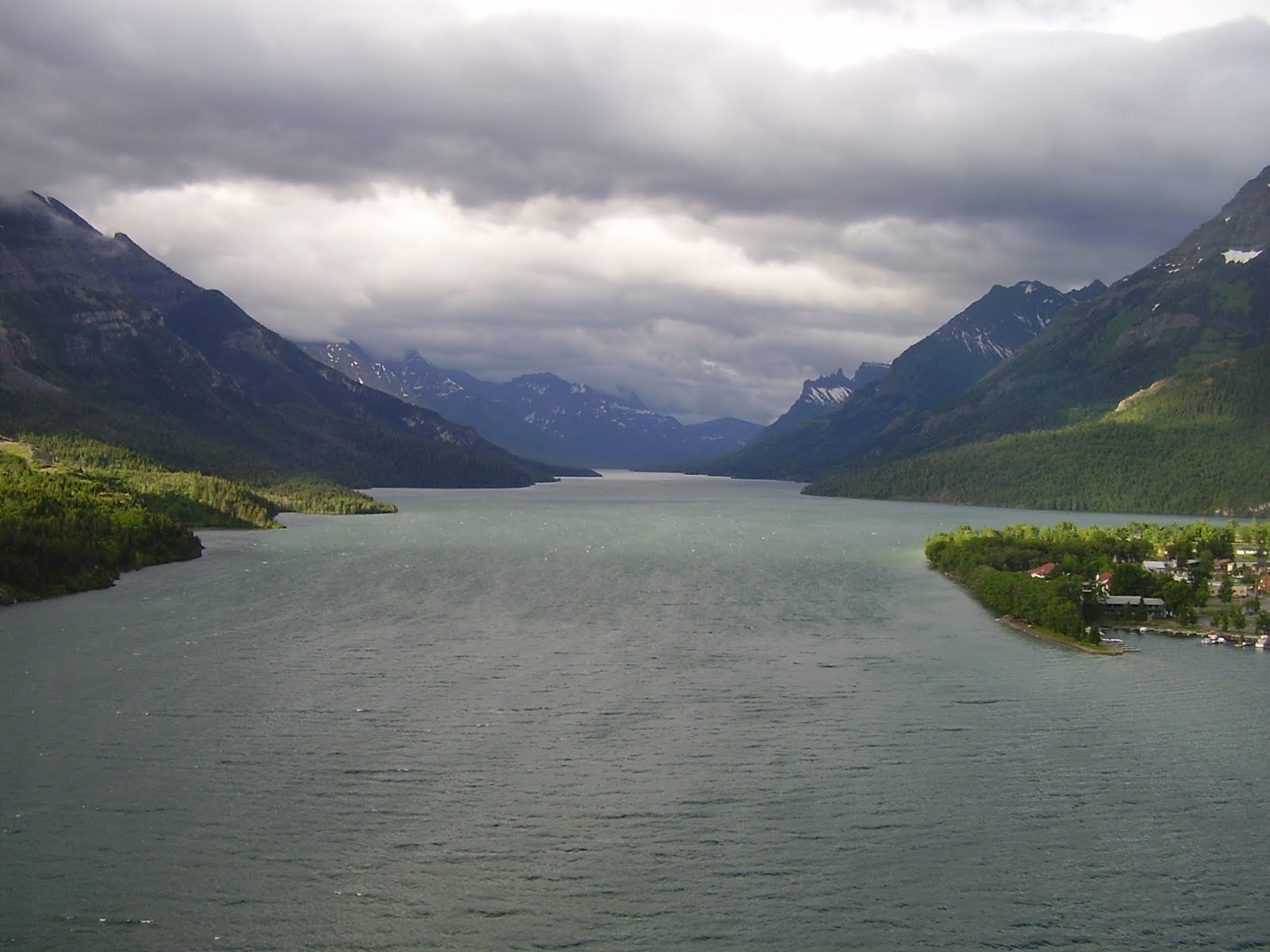
This one I am looking towards Pine View Dam in Huntsville near Liberty.
I kept heading upwards and the trail left the switch backs of the first section and I headed along the East side of the mountain. It was covered in pine trees and was nice and cool in the shade of the trees. The trees came out of the mountain side at an angle an then curved up towards the sky. I really should have stopped and taken some pictures but I had just re-packed my camera and didn't want to get behind schedule. I'll get a picture next time.
After another hour of hiking I made it to Chilly Peak. I went about 100 yards farther on the trail to get the sun behind Ben Lomond Peak to aid in my picture taking and found another campsite. This time I saw a fire ring and took the majority of my pictures. Here are a few for you to enjoy.
This is looking West toward Ben Lomond Peak:
This is looking North:
Looking back down the trail (South). The trees up on this ridge must have a rough life. They were completely mangled.
Looking South - The farthest peak you can see in the distance is Mount Ogden Peak. I live below it in Ogden. The one that is a little closer is Lewis Peak.
Looking West again at Ben Lomond Peak.
Looking East you can see the fire ring and camping spot I mentioned. Just be sure your shelter can take a lot of wind! You could always retreat down into the tree line if you had to but would find it harder to get a flat spot.
After spending about 30 minutes taking pictures I decided I better get going. This is a picture looking North from Chilly Peak.
Old tree at Chilly Peak.
On my way back home about to pass by the right side of Chilly Peak!
Just below Chilly Peak.
Passed Chilly Peak and on my way home and I decided that since I carried up a small tripod I had better use it at least once. Here I am getting wind blown as the sun is about to set.
A few more pictures looking South towards the distant Mount Ogden and Lewis Peaks.
The rest of the hike wasn't very eventful. I tried to jog a little to make up for my extended time taking pictures but my calf muscles kept cramping up on me when I tried to run. So I had to keep it slow and steady. I ran out of daylight while passing through the thick trees on the East side of the mountain. I had to break out my light and use it for the last hour of hiking.
I made it back to the car at 10:20 PM. I was a little sore but very happy that I took the time to make this hike. One of the main reasons I have been hiking so much is in an effort to lose weight. I weighed 220 lbs about 7 months ago and am now at 190 lbs. Mostly I can attribute this to just making a consistent effort to eat less, eat healthier foods, and be more physically active. Well it is working and hiking is my exercise of choice so I thought I would create this blog to share some of my experiences. If you live around Ogden Utah hopefully this will inspire you to head out on the trail.